
← All work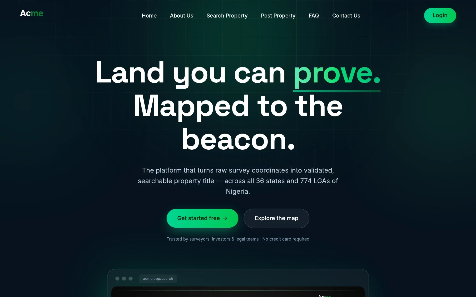
Acme · PropTech · Land & property registry
Geospatial platform for registering, verifying and searching land parcels
A geospatial SaaS platform for registering, verifying and searching land parcels from precise survey beacon coordinates. It turns raw Easting/Northing survey data into validated, mappable, dispute-ready property records with owner-to-buyer messaging.
1 / 5
Public landing page: hero, product value props and primary calls to action.
What we did
- Product UI/UX design
- Responsive web application (desktop + mobile)
- Authentication, roles & account approval flow
- Beacon-coordinate validation & boundary/overlap detection
- Interactive parcel mapping
- Property registry, search & listing management
- In-app buyer/owner messaging
- Admin dashboard & settings
Stack
- Next.js (App Router)
- React
- TypeScript
- Tailwind CSS
- PostgreSQL
- Prisma
- NextAuth
- Leaflet
Client details and data are anonymized. Screens show the real product with sample data.